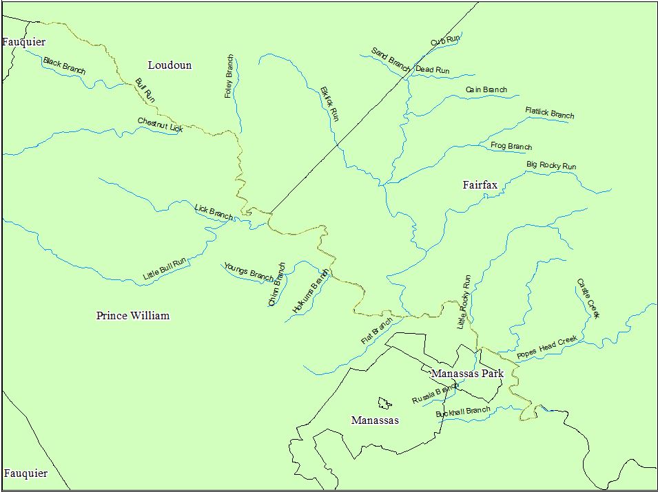
FLOOD PLAIN, SOILS, AND LAND USE MAPS

The Bull Run Watershed Bull Run, a perinatal tributary of the Occaquan river located in Loudoun, Prince William, and Fairfax counties, Virginia. The approximately 28 mile stream includes a watershed that covers approximately 50,000 hectares land. Streams are useful and beautiful natural resource features that provide a number of economic and ecological benefits. One major benefits of streams is the removal of stormwater, however during storm events rivers, streams and even small tributaries can flood their banks and damage infrastructure and buildings. This post will review Federal Emergency Management Agency (FEMA) flood maps in order to identify areas pron to flooding and determine if land use decisions are properly considering flood risks. The 100 Year Flood FEMA is an agency of the United States Department of Homeland Security tasked with coordinating the response to a disaster that has occurred in the United States and tha...